Tuesday, March 20, 2012

Los Pinos: "The Pines" and Peaks in the Santa Ana Mountains

Have you ever heard of evergreen trees at the coastal mountains in Southern California? It sounds strange, but it is true. Let us take you to the Santa Ana Mountains with peaks at 4000s-5000s feet. Actually there is a peak named after the Pine trees.  "Los Pinos" is Spanish for the pines. There are many pine trees that make up the name for this peak near the northern slope and southern face of the peak just below the summit. 


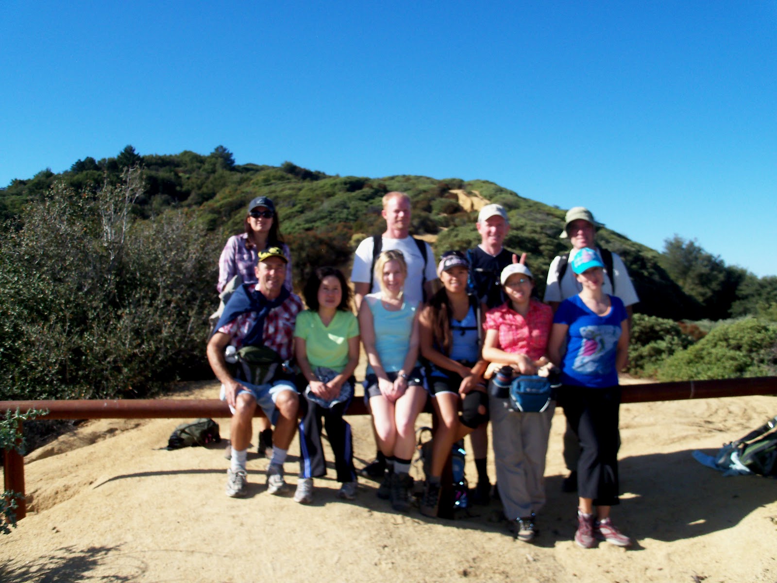
Photo by Elena
There are numerous ways to hike to Los Pinos Peak. Trabuco Canyon to West Horse Thief trail is the  most popular. Organizer Paul Agnew first introduced Trabuco Canyon trail to our HikingOC group and its members a day after Christmas of 2009. http://www.meetup.com/HikingOC/photos/792131/ The hike was for intermediate hikers with 10 miles distance and  moderate pace. We only hiked the lollipop loop and did not summit any peak.


Our hike goes through chaparral and a varied forest of spruce, Coulter pine, maple, coastal live oaks, sycamores, alders, madrone, and California bay laurel. The trail is a great break from city life offering cool green woods filled with local flora and fauna. 

After the first time, many members in the group asked to have more hikes at this lovely area with scenic and challenging trails. A month later, on Martin Luther King Jr. Day, we went back to the area via a different trailhead and hiked to Los Pinos Peak . We accessed the trailhead via the Ortega Highway 74 to the North Main Divide by the Blue Jay campground.  http://www.meetup.com/HikingOC/photos/804448/ 
That fall, November 2010, we hiked there again for fall foliage with sycamores leave changing color. http://www.meetup.com/HikingOC/photos/1139937/


It's been over a year and we haven't had a chance to go back to this area. The group is training for hiking Grand Canyon next month, so we need a more challenging hike. We are going to explore Trabuco Peak and Horse Thief Peak besides Los Pinos Peak. It is a 15-20 miles hike with about 3500+ft elevation gain. To join us on this event: http://www.meetup.com/HikingOC/events/56765722/


Even though its elevation is only at 4510ft, Los Pinos Peak does rank fifth in the range with 450 feet of prominence (after Santiago Peak, Trabuco Peak, Sitton Peak and Modjeska Peak). It is prominent above Lake Elsinore and San Juan Capistrano and looms above the Ortega Highway. Los Pinos Peak is the southern most 4'er in the range, so the views from this peak are endless with views way down south, of the Pacific Ocean (Catalina and San Clemente Islands), San Jacinto Mountains, San Bernardino Mountains, San Gabriel Mountians and much more of Southern California. 


Trabuco Peak is at 4607ft elevation, the third most prominent peak in the Santa Ana Mountains. The summit lies on the border of Orange and Riverside Counties. The peak is located at the top of Trabuco Canyon and above Temescal Canyon, giving it a commanding view of both canyons. Trabuco or "musket" is a famous name for everything in the area. A story of a soldier who lost his musket when camped a few miles east of the San Juan Capistrano. More details:  http://www.summitpost.org/trabuco-peak/507606  


Horsethief Peak is an unnamed peak. This is a great peak to get away from the crowds that can often be found on Santiago Peak. The views from this peak are just as good as any other peak in the range. Located between Trabuco Peak and Los Pinos Peak, Horsethief Peak is at an elevation of 4,313ft
This link will give more information of different ways accessing these peaks: http://www.summitpost.org/los-pinos-peak/515463


Sunday, March 11, 2012

Point Mugu State Park: Secluded and Gorgeous Campgrounds


Last year, our group: HikingOC was camping and exploring the trails at Point Mugu State Park. We are going to have a similar event this coming April. It'll be a weekend during Spring break, from Friday to Sunday April 13-15, 2012.
If you are interested to join our group for hiking, check here for more information: http://www.meetup.com/HikingOC/events/37866542/


To see photos from last year: http://www.meetup.com/HikingOC/photos/1369261/
Flowers photos by Mai and more on her link : http://photos.think-concept.com/?page_id=288

Point Mugu State Park belongs to our neighbor county: Los Angeles and borders with Ventura county. The park located in the Santa Monica Mountains, features five miles of ocean shoreline of Malibu city that is next to Point Mugu Naval Air Station. Situated 8 miles south of Oxnard, Ventura county and approximately 65 miles northwest of Los Angeles, Malibu not only is a famous community for its warm and sandy beach, it is a home of many Hollywood movie stars and others associated with the entertainment industry.

Point Mugu campground is famous for its "pure heaven on earth", a beautiful place for camping with family and friends. With rocky bluffs, sandy beaches and sand dunes, rugged hills and uplands, two major river canyons, wide grassy valleys dotted with sycamores, oaks and a few native walnuts, this place provides campers, hikers and backpackers both ocean and mountain view. There are more than 70 miles of hiking trails. The beach also features swimming, body surfing and surf fishing. The 13,300-acre park includes the jagged pinnacles of the Boney Mountains State Wilderness Area. Check Reserve America's website for camping information: http://goo.gl/mte2Q

There are few campgrounds at this park, but the most beautiful and convenient campground is Sycamore Canyon. It has flush toilets, hot showers, paved drive-in parking, beautiful ocean views, coastal chaparral, spring flowers, a peaceful wooded canyon and some magnificent sycamores, the sycamores that shade the canyon. Moreover, in the fall this campground is one of the best places in Southern California to observe the arriving monarch butterflies http://www.parks.ca.gov/?page_id=25211


Let's take you back to our trip last April.  We stayed at Sycamore Campground and hiked several trails. The first hike was Sycamore Canyon-Boney Mountain-Deer Canyon
We started from the campground at Big Sycamore trail, to Overlook-Backbone trail, continued to Old Boney trail, to Serrano Canyon trail and backed to Big Sycamore trail to the trailhead. We got almost 14 miles and gained 2000ft elevation. Half of a group went on a smaller loop for a shorter distance taking Big Sycamore trail instead of Serrano Canyon trail loop.

Late afternoon, we met at Ray Miller trailhead, and went on a sunset hike; it was about 6 miles with elevation 800ft. This was a shuttle hike: Ray Miller, La Jolla Canyon to Sycamore Campground. We carpooled out to Ray Miller trailhead at La Jolla Canyon to start. From there hiking up the Backbone trail, then connecting a little bit to Overlook trail, and continuing downhill to the campground. The hike had ocean views a whole way and a beautiful sunset.

Our third hike was Point Mugu Peak and loop to La Jolla Canyon trail. It was a shuttle hike. We drove to Ray Miller trailhead, left few cars, and then carpooled to Chumash trail trailhead. We got another 7 miles with about 1000ft elevation gain.


Monday, March 5, 2012

The World Natural Wonder: Grand Canyon National Park (South Rim)

It has been awhile since the last time visiting Grand Canyon as there are many places to travel. My hiking group usually asks: will I organize a trip to Grand Canyon soon? Spring of this year may be a great time for going to Grand Canyon.
Besides for hiking reason, it's a National Park Week April 21-29, 2012 (Free Entrance Days) and Lyrid Meteor Shower is at peak time on the same weekend April 21-22. More information: http://stardate.org/nightsky/meteors 
http://earthsky.org/astronomy-essentials/earthskys-meteor-shower-guid

If you are interested to join a group hiking and to know more information, check out this link: http://www.meetup.com/HikingOC/events/54476402/  
Check out photos from past events:
Grand Canyon National Park South Rim is in the state of Arizona, a Southwestern region of the United States, also known as a "Grand Canyon" State, a part of the Western country, and of the Mountain West states. This park is one of the Seven Natural Wonders of the World.  As described on the Seven Natural Wonders website: "The Grand Canyon is a massive gorge located in the state of Arizona in the United States, and was created by the Colorado River. Although not the steepest nor the longest canyon in the world, the Grand Canyon is recognized as a natural wonder because of the overall scale and size combined with the beautifully colored landscape. The canyon offers a variety of lookouts and experiences that provide visitors with a view that cannot be matched."http://sevennaturalwonders.org/the-original/grand-canyon

The South Rim opens year round.  There are numerous ways to get to and around Grand Canyon--by bus, car, plane, or train. Whether you are into serious hiking, have a relaxing vacation and only interested in simple strolls inside the park, there are various trails with different hiking levels for you to choose from. Regardless of which one you chose, the view of the canyon is just as spectacular at any vantage point. You can find information prior to the trip by visiting the NPS' website at http://www.nps.gov/grca/planyourvisit/day-hiking.htm.  Once you're inside the park, be sure to stop by the closest visitor center to pick up the accessibility guide.
The first trip to Grand Canyon in late April 2005 was memorable.   It was also my first time backpacking and I was inexperienced, untrained, and unprepared to hike in a strenuous desert climate. In hindsight, I realized that our lack of knowledge of the terrains and anticipation of a stressful hike, my friends and I had ultimately put our lives in a risky position.  After that 2-day weekend trip, we were exhausted from hiking 15 hours with a heavy backpack. Not to mention, we lacked of rest, sleep, food, and under the heat up to 100 F near Colorado River around 7 AM in the morning and on the trail with no shade around noon time. 
However, I was grateful to my friends who invited me on this trip, so that I had an opportunity to experience the Grand Canyon with the like-minded people. Stunning by the imposing view of Grand Canyon, saying to myself:  "a natural masterpiece", I can't drop a thought of going back, spending more time and sharing this wonder with others. The lessons and inspirations that I gained from the trip have motivated me to plan and prepare a safe adventurous travel for others. Especially if it's your trip to visit Grand Canyon, you will have a wonderful trip of a lifetime. 

After a short weekend backpacking the 20 miles of Bright Angel trail in the South Rim, some friends who liked hiking in the Grand Canyon asked me to organize a similar trip. Subsequently, we not only organized one, but two trips to the GC again in the same year.  Since we planned, prepared, and trained well for those later times, which were held in October and November of 2005, all participants had a great time. The highlight of these trips was hiking another route. We hiked down the South Kaibab trail to the Colorado River, crossed over a bridge to the campground; and then trod our way up passing another bridge to the Bright Angel trail as a loop of 17 miles.
No word can tell enough and a picture worths a thousand words, sharing with you some photos from those trips:  http://goo.gl/5fmPd


Monday, February 27, 2012

Heaven on Earth: Havasu Falls (Havasupai Village-Supai, AZ)

Today we will take you to Arizona, a Southwestern region of the United States, also known as a "Grand Canyon" State, a part of the Western country, and of the Mountain West states. Let's discover one of the most unique wonders of Arizona: Supai village. Besides visiting Havasupai, we will experience a lifetime trip of seeing the turquoise water Havasu Falls. This is an Indian village located between the Grand Canyon Sky Walk in the West Rim Grand Canyon and a famous South Rim Grand Canyon National Park, one of the World Seven Natural Wonders. The closest town nearby is Peach Springs, Arizona.

The most exciting thing about this trip is not only giving us a chance to travel and hiking in nature, but also it is an opportunity to study some more about American history of its original people: the native American Indian. Adventures Great and Small described about Supai Indian village: "Havasupai" means "people of the blue-green waters." The Havasupai tribe is the smallest Indian Nation in America totaling about 600 people http://www.great-adventures.com/destinations/usa/arizona/havasu.html

"Havasu Falls is known throughout the world and has appeared in numerous magazines and television shows, and is often included in calendars that feature incredible waterfalls or beautiful scenery. Visitors from all over the world make the trip to Havasupai primarily for Havasu Falls.
The vibrant blue water contrasts against the striking red rocks of the canyon walls as Havasu Falls plunges nearly 100 feet into a wide pool of blue-green waters" http://www.havasupaitribe.com/havasu.html

As always it is unsafe to travel alone, read here to find out more about:  "Problem in Paradise": http://www.hcn.org/issues/347/17026

Because this spectacular place is  "heaven on earth", plan a trip with family, friends or join a group to experience yourself as it's beyond words' description
Coming up late Sept. early Oct., 2012 trip: http://www.meetup.com/HikingOC/events/54396432/


Thursday, February 23, 2012

"The Sinks as a mini-Grand Canyon": Limestone Canyon Wilderness Park


Today, we will take you to one of the parks in the Irvine Ranch Natural Landmarks, the land that stretches in a giant green crescent from Weir Canyon near the 91 Freeway, connect with the Cleveland National Forest, to the hillsides of Irvine and extend all the way to Laguna Coast Wilderness Park and Crystal Cove State Park near Laguna Beach.
Limestone
Canyon Wilderness Park, another hidden gem of Orange County wilderness, situated in Silverado, in the Eastern side of Central Orange County

As described on the Irvine Ranch Natural Landmarks'website : "this spectacular and lush canyon includes thick oak woodlands, streamside habitats, year-round springs and an iconic geological formation called "the Sinks,” often compared to a mini-Grand Canyon. A rich diversity of plants and animals as well as an unusual variety of natural habitats make Limestone a true favorite among hikers, mountain bikers and naturalists of all types" https://www.irlandmarks.org/Explore/Limestone-Canyon-Wilderness-Area.aspx
"The activities at the Irvine Natural Landmarks are offered by a variety of organizations and their dedicated volunteers. These activities are guided or supervised programs. Some locations are open daily for self-guided access as well. All programs are FREE unless noted below. Pre-registration is required. Walk-up registrations are not allowed."

There are almost daily scheduled hikes with docent leads at Limestone Canyon Wilderness Park, but once a month there is an Open Access Day that will allow trail lovers to enjoy self-guided access in magnificent Limestone Canyon. Designated trails will be open for self-guided hiking, biking, and equestrian use from 9am to 3pm


For more info and join a group to hike the next open access day March 3rd, 2012 http://www.meetup.com/HikingOC/events/53525802/
Also check out last year event with lots of wildflowers when we visited in May: http://www.meetup.com/HikingOC/events/17281373/


Lá me đất, lá me (tamarind) và vui buồn những mùa hè tuổi thơ ở nhà ngoại

Bên mình nếu ở quê mới có, hồi nhỏ lúc hè thường về bà ngoại chơi (Vạn Giã, cái xứ 10000 không thật 🤪đúng ra là biển giã hay giã nát thứ gì...